Sanborn fire insurance maps · Library of Congress
Your block, as the fire surveyor drew it
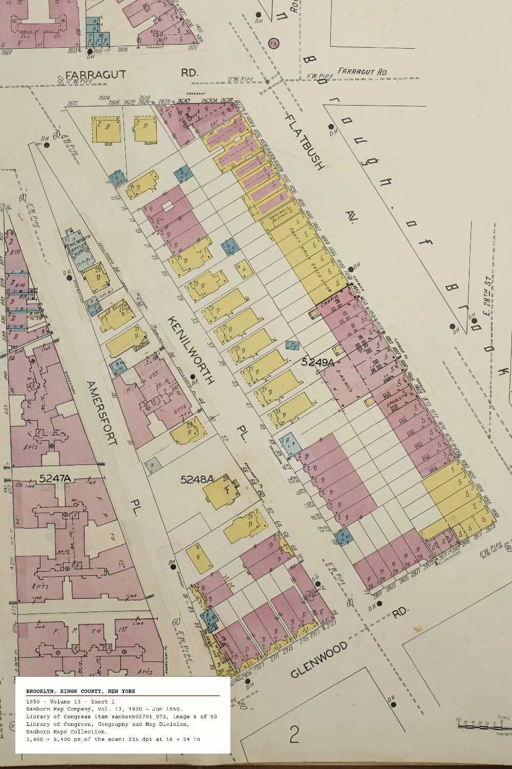
The Sanborn company drew American towns building by building for fire insurers: brick in pink, wood frame in yellow, the house number on every lot. Find your town, choose the sheet, and cut your block from the Library's scan at full size.
Cut from the Library's own scan at full resolution
Or start from the print beside this: Open the Brooklyn Sheet
Volumes
Sheets
Cut Your Block
Order This Print
Where It Comes From
The record, then the frame
Every sheet here is a scan in the Library of Congress' Sanborn Maps Collection, read live from the Library's own catalogue and image service. We keep no copy of the collection: the search, the record, the sheet and the regions travel from loc.gov and tile.loc.gov straight to your browser.
The proof is assembled from the scan's own pixels, region by region, at full size. When you order, our server assembles the print file again from the same regions and checks the size against the 150 dpi floor before it takes a cent.
"The content of the Library of Congress online Sanborn Maps Collection is in the public domain and is free to use and reuse."
Credit line: Library of Congress, Geography and Map Division, Sanborn Maps Collection. It is typed on every print. A volume whose record doesn't carry the sentence above is refused. We never sell the file: anyone can download the scan free from loc.gov. We charge for the print.
The Library asks programs like this one to stay under 20 catalogue requests and 150 image requests a minute. The studio asks for at most 20 and 120, two images at a time, and waits 30 seconds whenever the Library says slow down.
A crop is fetched as 1 to 15 regions of at most 2,000 px a side. A region the Library has served before arrives in under a second; one it has to cut fresh can take half a minute, so a proof can take a minute or two.
Sheets exist only for towns the Sanborn company surveyed, and the Library's online collection holds part of what the company drew. Your town may have no sheet online, or none from the year you want.
The finder searches the Library's catalogue by town name. It can't find a street address: you find your street on the sheet. A street can run across two sheets, and we print one sheet at a time. The colours are the scan's own, faded where the paper faded; we change no pixel.
| What we check | Against | How close |
|---|---|---|
| The sheet's size | Brooklyn, 1950, volume 13, sheet 1, as the Library's image service reports it | 5,884 × 8,386 px, exact |
| The dpi readout | a 3,600 × 5,400 px crop at 24 × 36 in, then 12 × 18 in | 150.0 and 300 dpi, exact |
| The regions | a 4,500 × 3,000 px crop | 6 regions, none over 2,000 px, together exactly the crop |
| The floor | a crop under 150 dpi at a size | struck here, refused at checkout with its number |
| The slip | a fixed Library record | the exact text |
For the drawn map of a whole place, see Painted Earth. For the world rather than the block, Cartographer's Dream.